
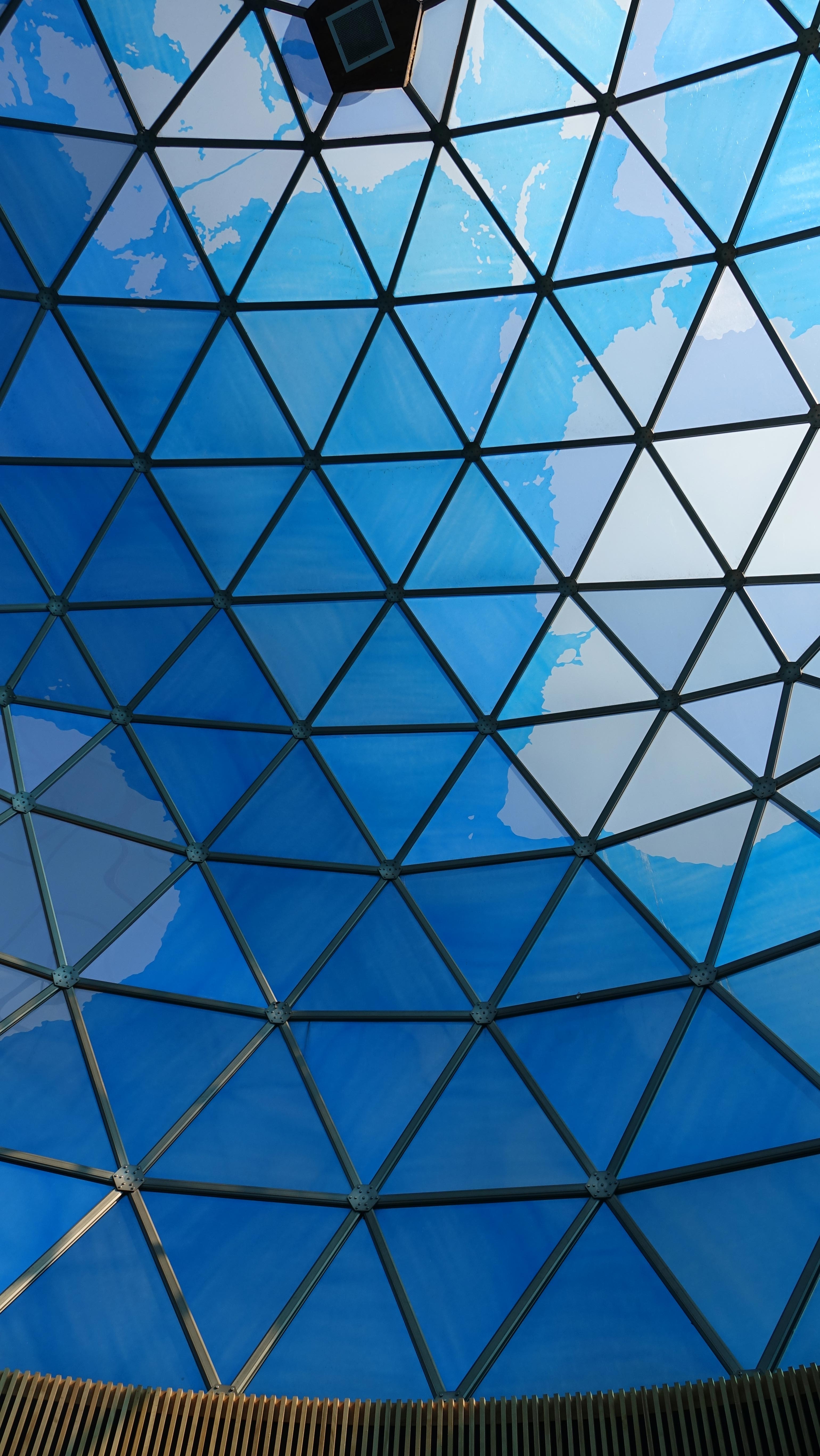
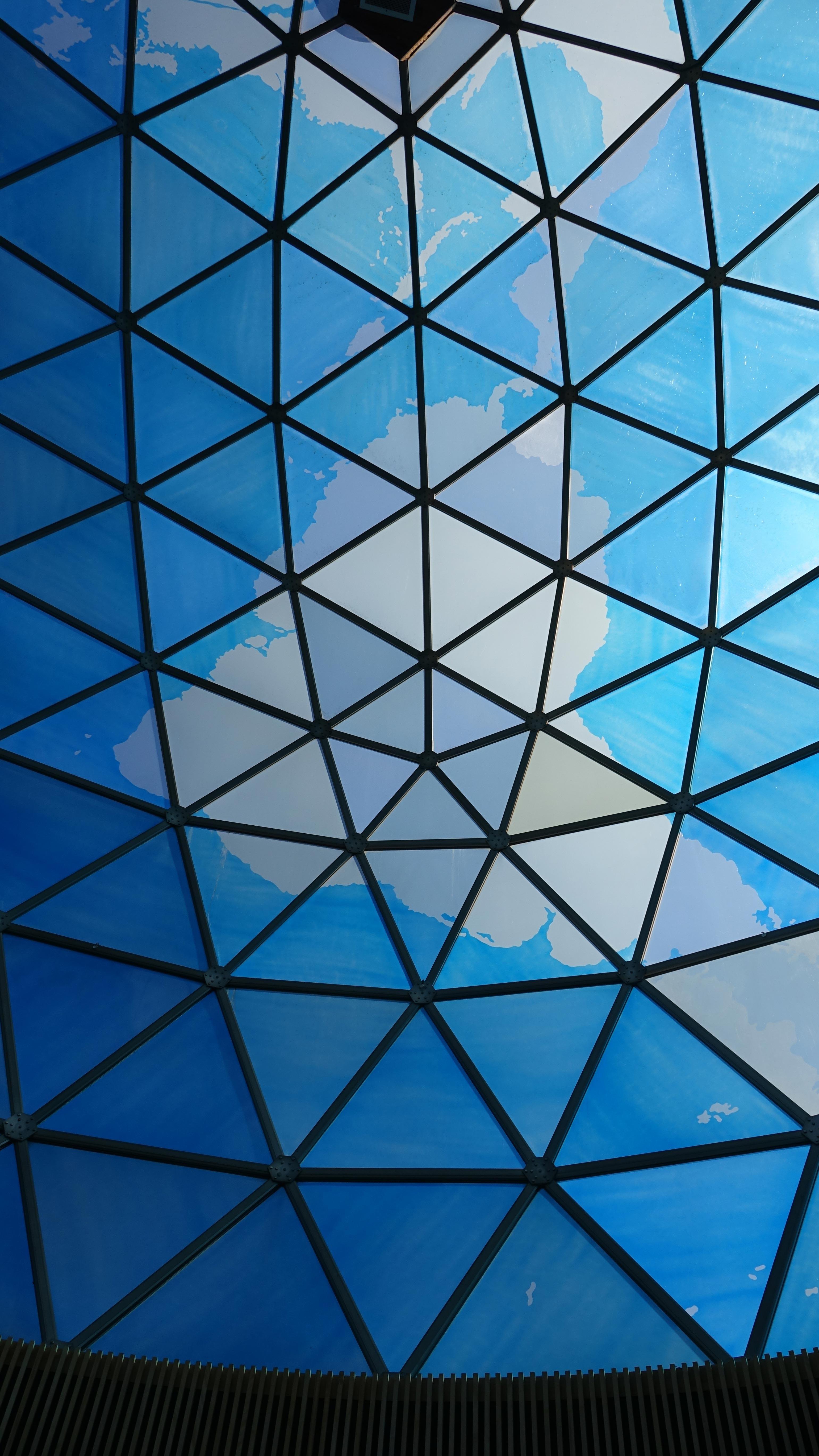
To see a larger picture,
click a small one
To see a larger picture,
click a small one
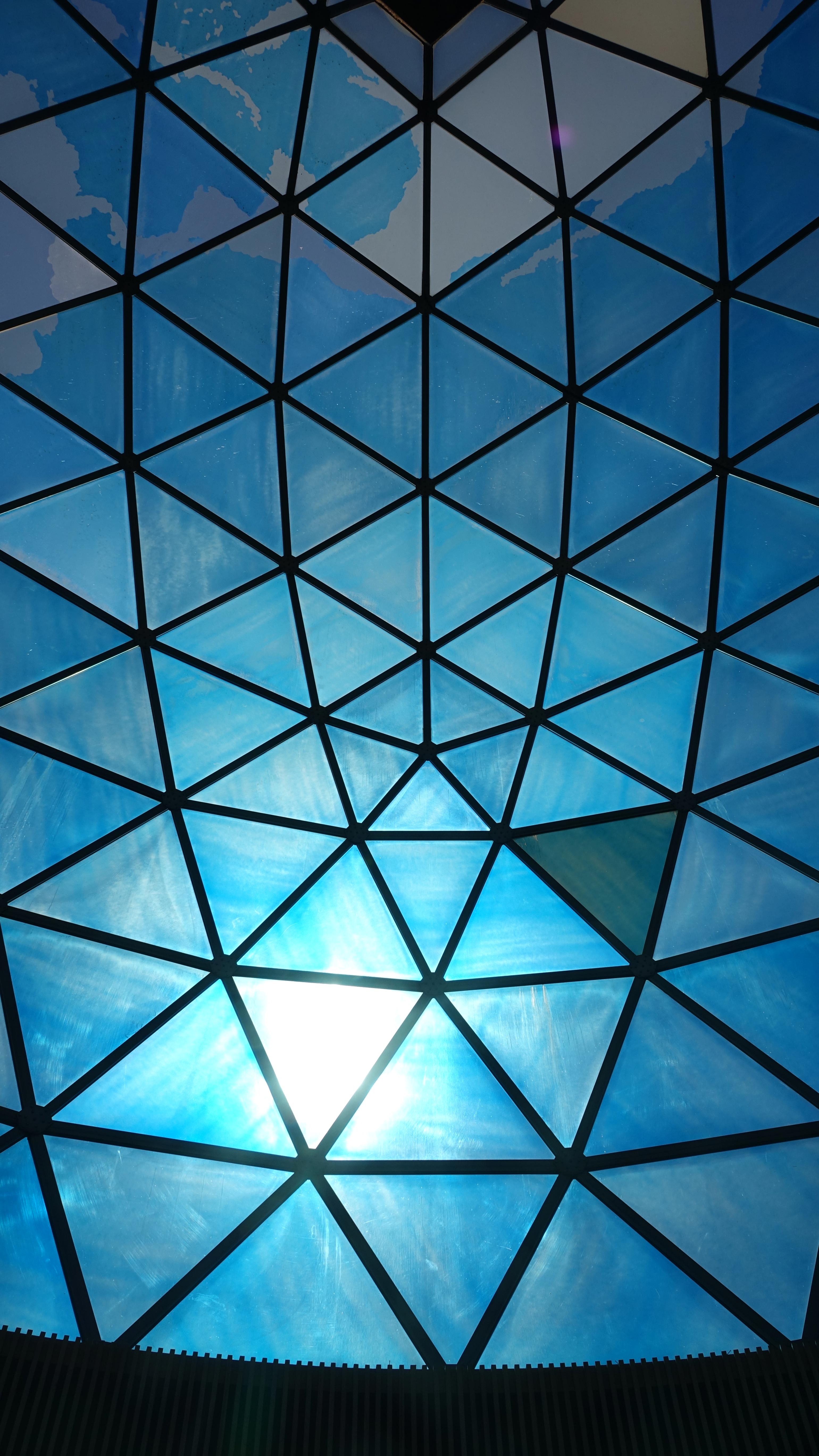
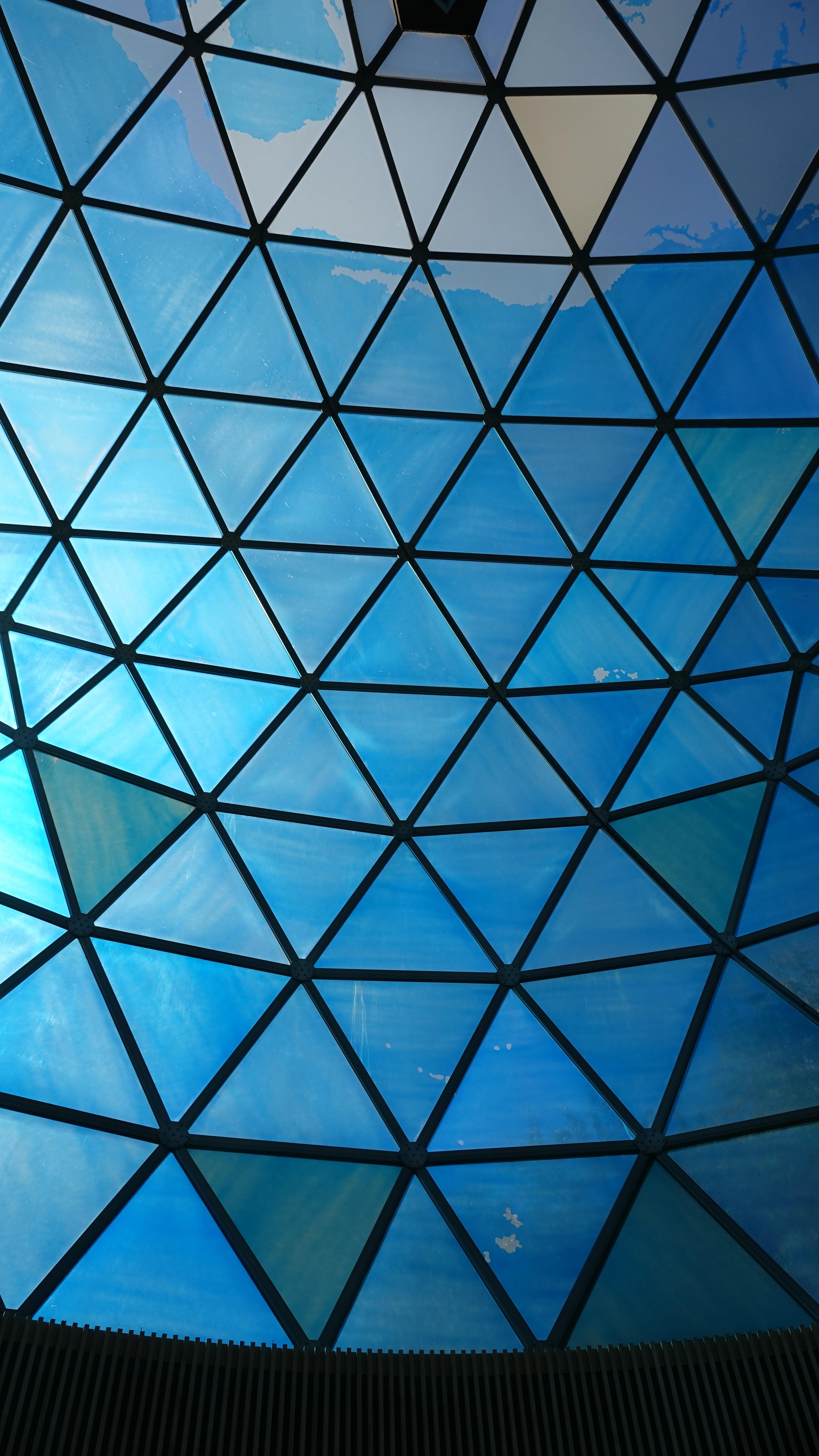
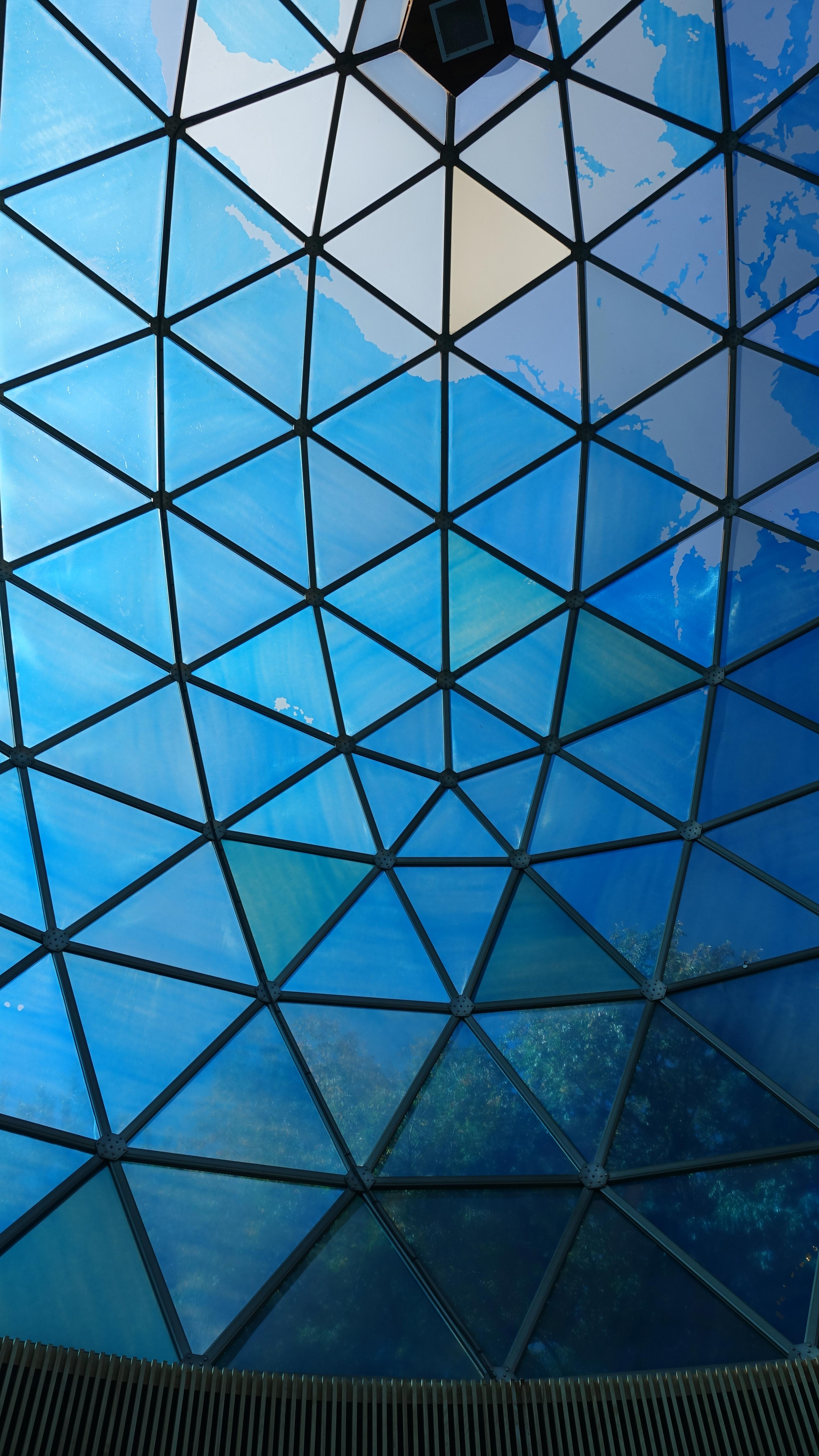
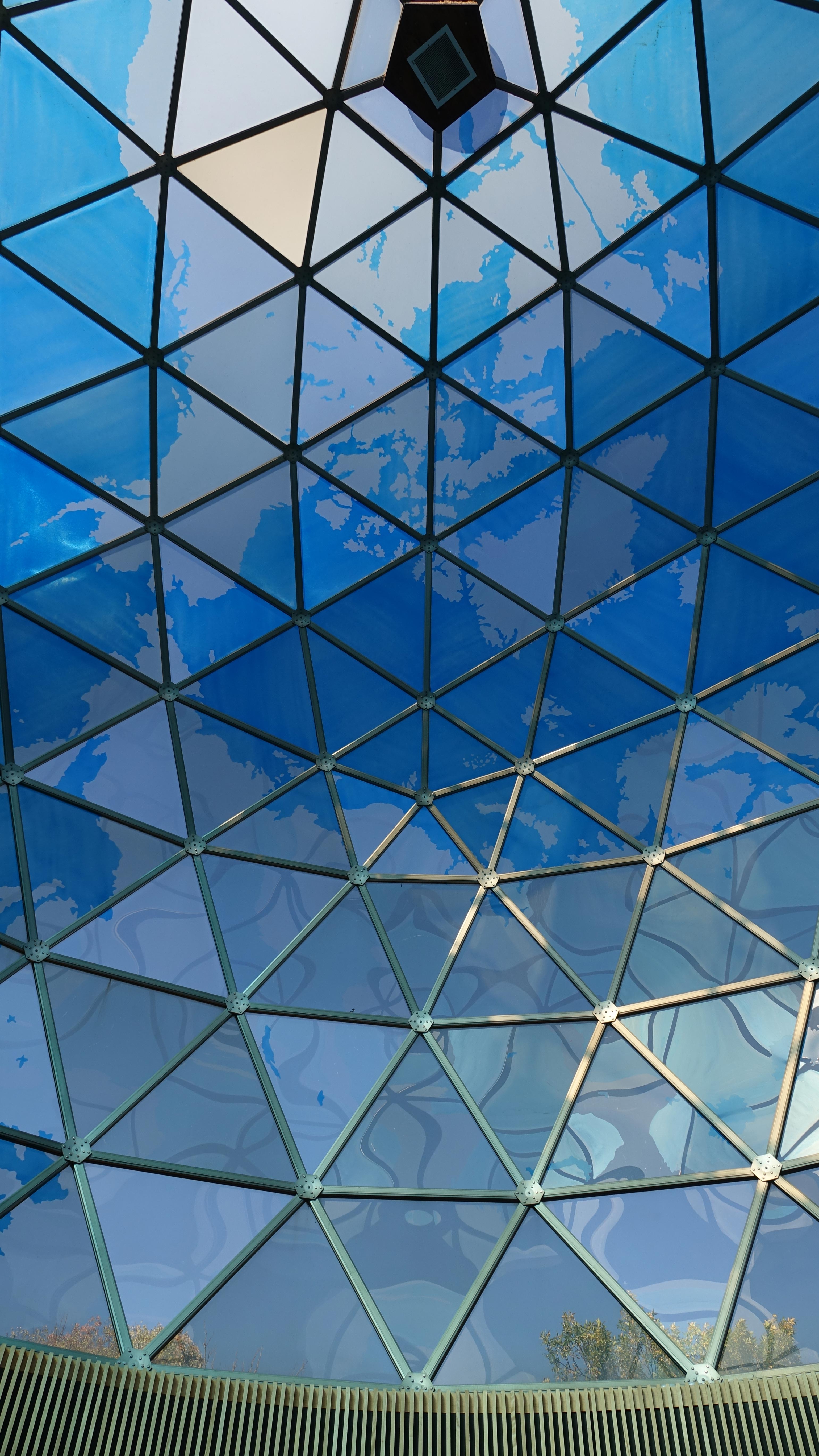
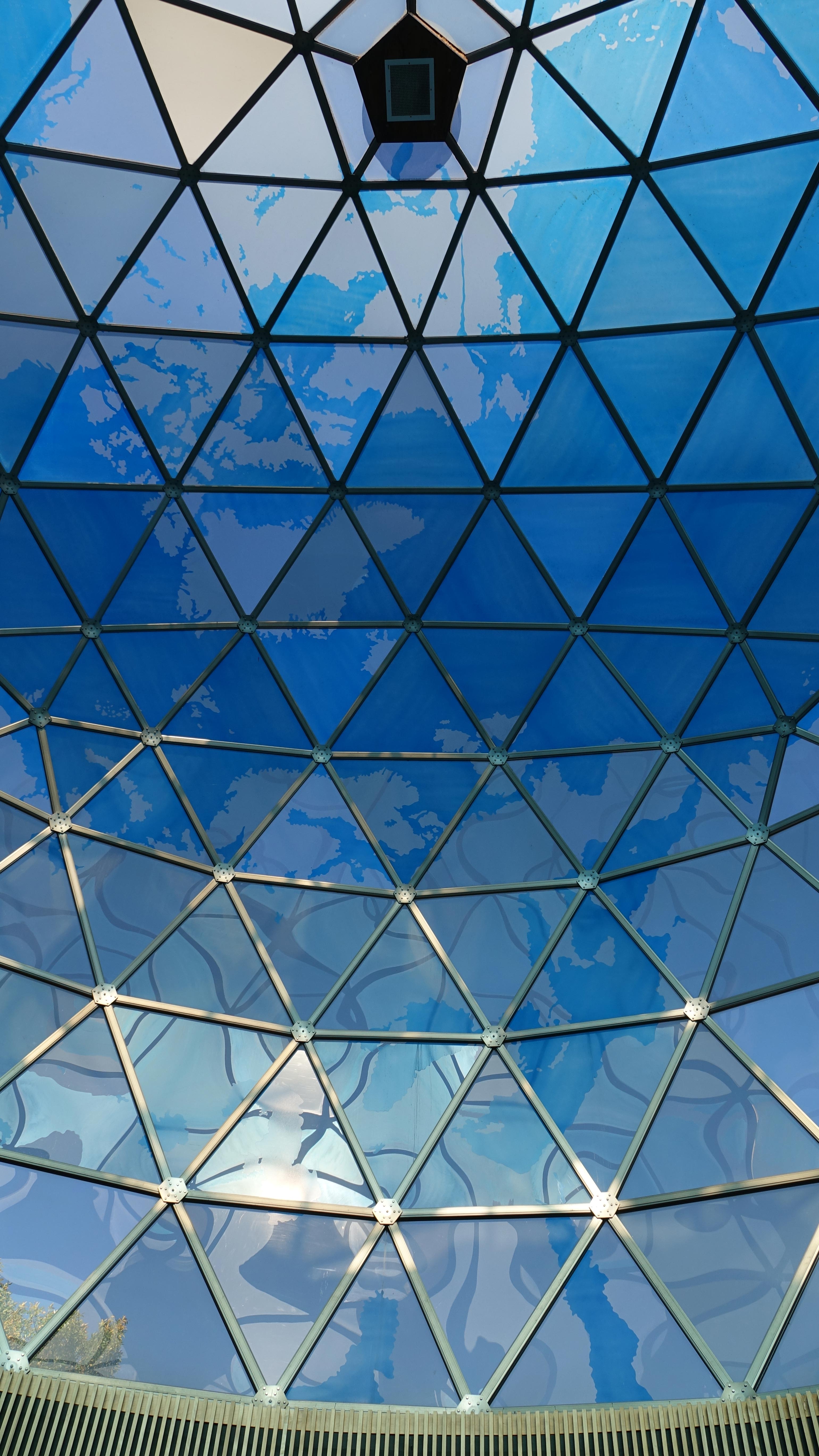
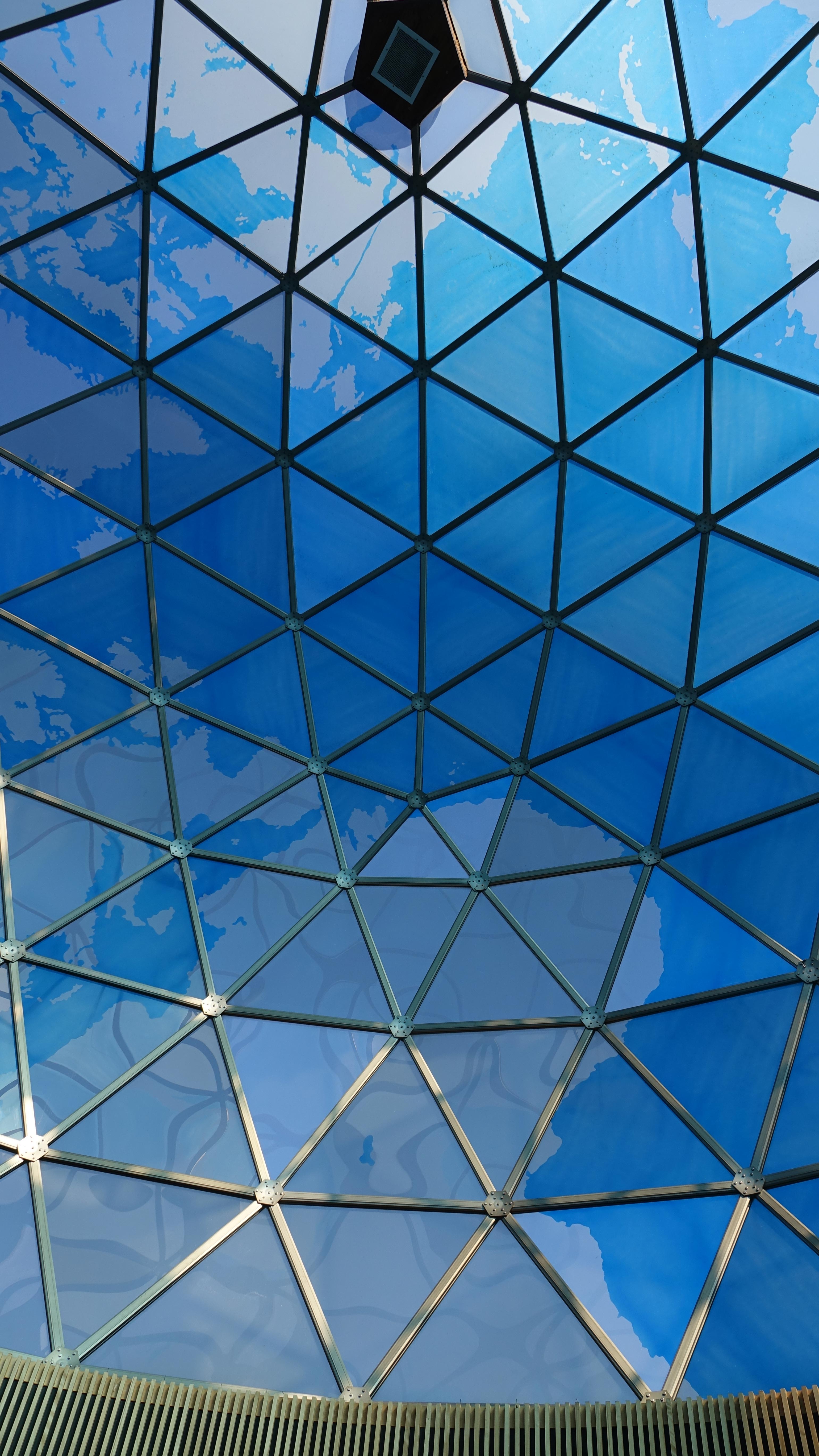
Look around at the dome clockwise, from left to right in the 10 photos above. Photographed at 2:20PM CDT on October 11, 2018. The top pentagon is where we are in Edwardsville, IL on the 90th meridian, inside earth, looking out. The first photo centers on the 90th meridian facing south. The images appear much more clearly in better sky conditions.
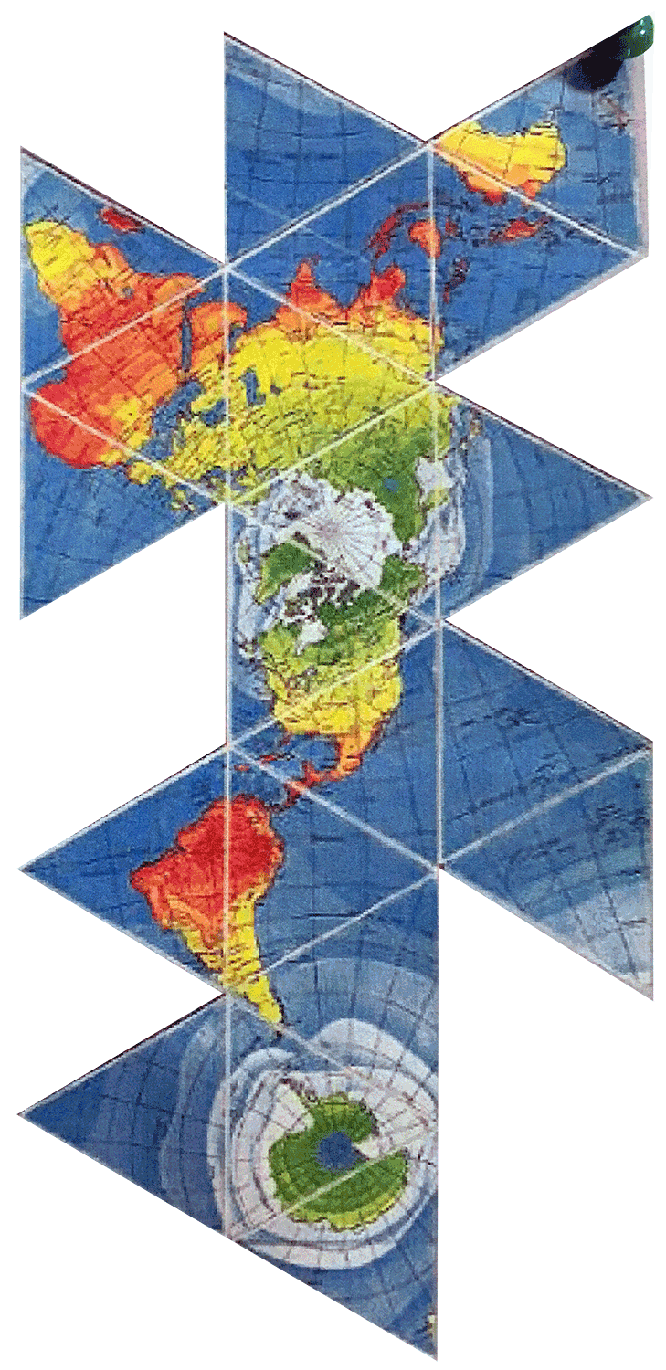
The image on the left (below) is said to be the Dymaxion Map as modified by Fuller and his architect partner Sadao Shoji to fit on the 20 triangles of an icosahedron for an approximation of the earth's sphere. That is what I thought before making a model from a Dymaxion Map and realizing it is not the actual design for Fuller Dome. For the reasons why, see Dymaxion Map Differences.
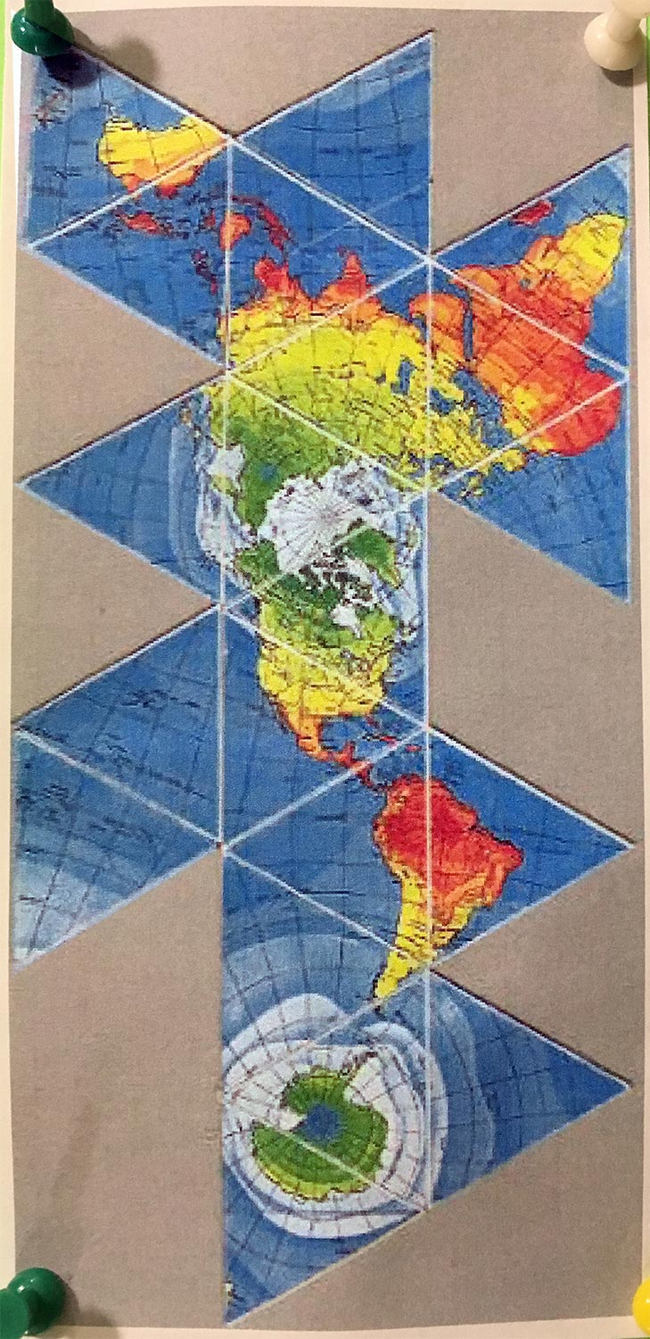
On the right is the Dymaxion Map as viewed from inside the earth. The Dymaxion Map is backwards (reversed) from inside earth.
The South Pole area of the map is out of sight as the dome is a 3/4 sphere. As I walked around under the dome, designs for a yoga pad came to me. Something like a rug, underfoot, showing the missing continents. For the project, see Fuller Dome Underfoot and following pages.
Send comments by clicking the ... link below:
lich...@wholeo.net
{WholeO Onward} ~ {Trips} ~ {Travel} ~ {Fuller Dome}