The Choctawhatchee River Section (CRS) of the Florida National Scenic Trail (FNST) is nearing completion. Florida Trail Association (FTA) volunteers have worked on it for eight years. On November 13, 2016 I got a tour of the Mud Buddy Bridge. I call it that after the nickname of the work crew days. On this MEETUP page is this info: "Boardwalk itself measures out at 245 feet. Landings at both ends adds 10-12 feet each. Total length coming out at 265 to 270 feet". These MEETUP page photos show heavy equipment work days. On May 17, 2016 work really got muddy, also rained on.
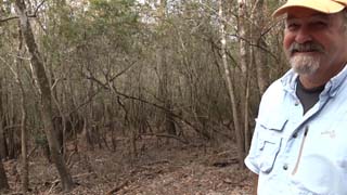 Tim Crews took me on a tour of the newly completed boardwalk that bridges Cypress Creek
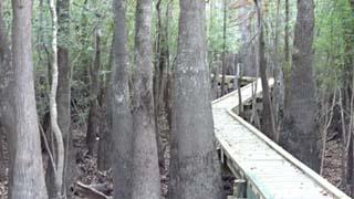 The walkway (elevated boardwalk) zigzags between cypress trees, preserving most of them
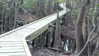 The creek is low since it has not rained for weeks
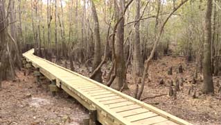 From the north end of the boardwalk. That is, it is the other end from where we started
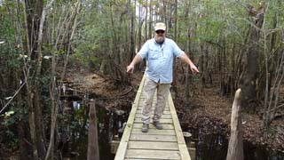 Tim pointing out two cypress knees, one on each side of the bridge
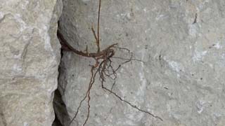 'Uprooted'. Ian, a contract employee with the US Forest Service, had heavy equipment used to bring in loads of stone, gravel, dig holes, and so on
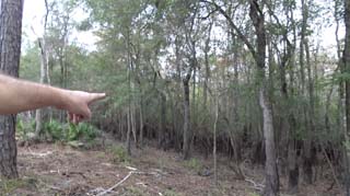 Originally the plan was to build the boardwalk over there, where Tim is pointing
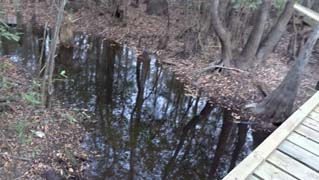 Cypress creek
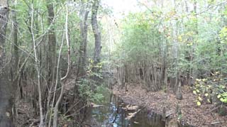 Cypress creek looking toward the previous corduroy road crossing
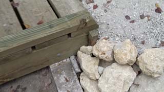 Construction detail
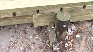 Construction detail 2
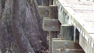 Construction detail 3. Note how close it comes to the tree
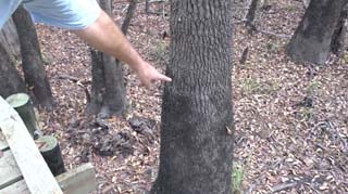 Tim is pointing out the high water line on the tree. His understanding that is a 4-year line. Will we be walking on or in water by 2020?
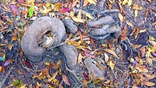 Typical gnarly roots over this entire creek area
 Site of the original logging road and creek crossover plan now remains undisturbed
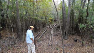 Tim looking at the original creek crossing. When I was here a few years ago, the water was higher and we crossed balancing on a log
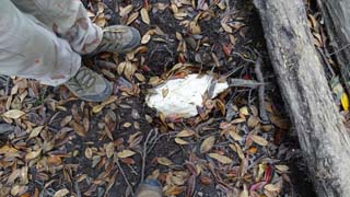 Historical marker of where we first started to place a piling but could not dig down. Tim explained how the loggers would take logs, lay them down crosswise on the road. Drive across it. Sinks some. Put more logs on top of it. Drive back and forth. When we started to sink the original pilings, we hit those logs and realized we can't go any further here. So Ian came over. Figured out a new route for the bridge to begin and end where it was supposed to. Caused the bridge to get lengthened a little bit. A little more work. They even got to route it through two nice tall cypress trees.
This view of the Florida National Scenic Trail is from N W Florida, the panhandle. Specifically the trail section will stretch from SR 81 at Seven Runs to SR 20 west of the Choctawhatchee River. See this Google map. Back to 11-13-2016 or Choctawhatchee River Section.